Integrated underground asset data
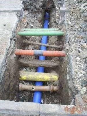
Underground asset data can often exist in isolation from other business data such as site plans and other asset records.
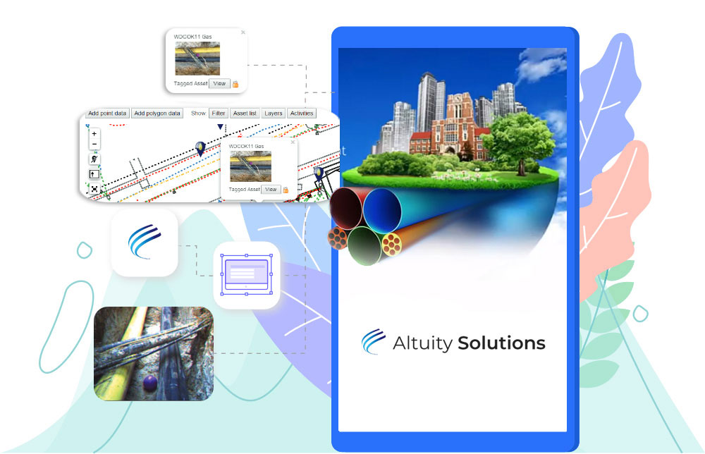
AltoSUE™ enables you to record information about an underground asset while onsite. Associate other data such as engineering drawings and documentation with assets. Underground assets are overlaid on maps and / or site survey plans. Integrate AltoSUE to corporate GIS and asset management systems.
Integration unlocks greater value
Combining map and site-plan-based views provides better visual context, facilitating greater understanding while improving efficiency.
Integrating other records with your AltoSUE™ information adds value to your underground asset data. This enables you to ensure that your asset management and financial systems maintain visibility of underground assets.