Accurately locate
buried services
The absence of precise location information on underground assets results in higher works costs, an increased likelihood of damage and a greater risk to health and safety.
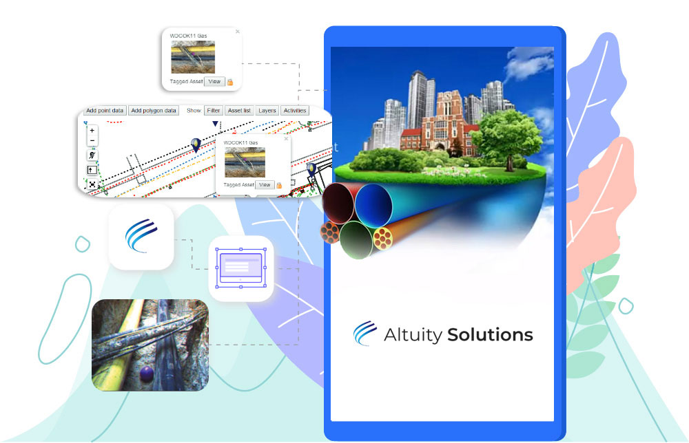
AltoSUE™ delivers location data where and when you need it. Data is stored in AltoSUE’s geospatial cloud database; maps, site survey plans, aerial images and 360° photospheres provide enhanced visual control.
Greater control
Combining one or more location referencing methods enables you to adopt the approach that best suits your subsurface utility engineering practises, budget and needs. This provides a toolkit of options – e.g. use RFiD tags at critical points such as joints and valves and geo-tagged photographs in other locations.
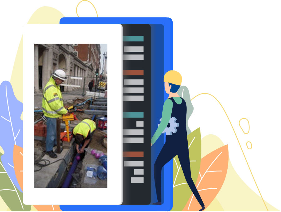
Improve the visualisation of your buried assets by capturing 360° photospheres using simple to operate cameras. These allow you to virtually ‘walk’ the trench.
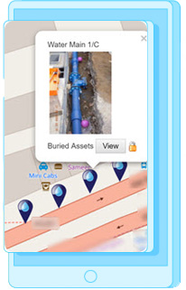
View underground asset and buried services information during off-site pre-planning on maps and site plans. When on-site you can use a locator to find tagged assets and see the information about an asset on your mobile device live in the field 24×7.
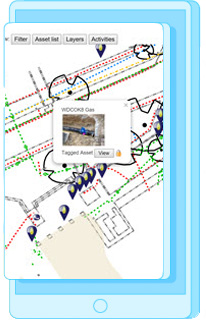
Tagged assets can be overlaid on maps and site survey plans
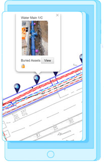
A tagged water pipe overlaid on a site survey plan